Most people would take a day trip to Zion National Park in Utah on their way through the American Southwest, maybe on their way to Bryce Canyon National Park or even Antelope Canyon in Arizona. I’m kind of insane, so my day trip was a little different. Last Saturday at 6am in Dallas I found a decent deal on a nonstop flight to Las Vegas that left at 9am Dallas time and returned at 6am the next morning (long-time readers are now rolling their eyes because they know what’s coming next). I thought to myself, “well why not?” and booked the flight.
I went to Zion National Park after a wedding in Vegas last year and remembered that it was not too far of a drive from Las Vegas so I decided to return. But just for a few hours, then I’d have to turn around and get back to Vegas to catch my flight back home. If I had time I wanted to hike to Angel’s Landing again.
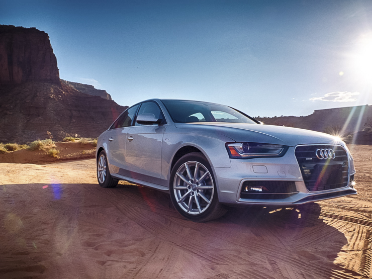
My vehicle of choice? Silvercar, obviously (full disclosure: I would love it if Silvercar gave me free rentals in exchange for speaking about them so glowingly in my posts but I pay full price every time).
I landed in Vegas, picked up my Silvercar, and pointed it’s lovely silver bonnet towards I-15. A short 2.5 hours later I arrived at Zion National Park in Utah. Looking at the time, I was fairly certain I’d have enough time to make it to Angel’s Landing, but I’d have to go faster than the year before. Fortunately I’ve been eating better and CrossFitting more often, so the hike was much easier this time.
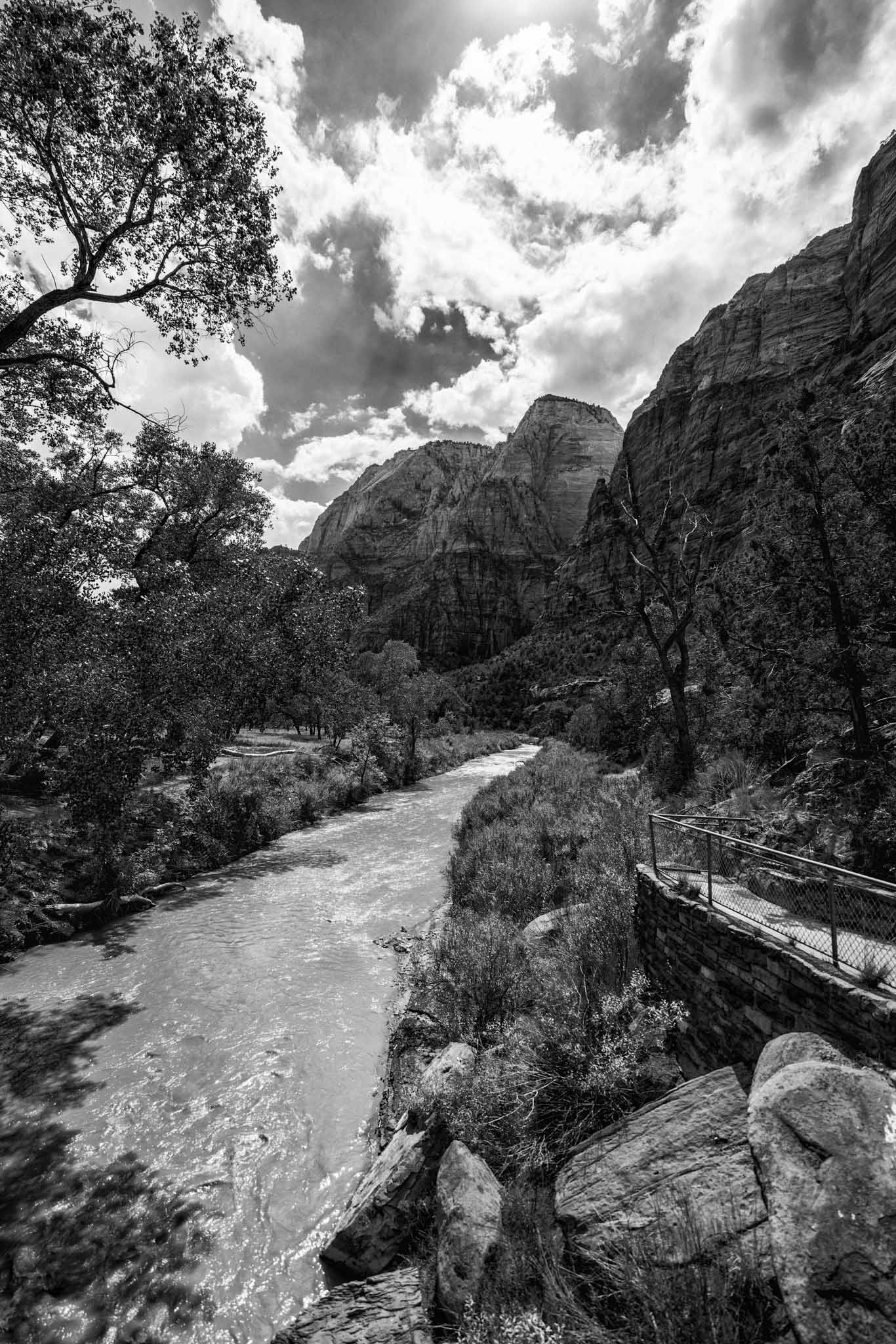
The trailhead is opposite of the Grotto stop on the Zion shuttle system. You cross over the Virgin River and then the fun begins!
The trail is long and gradual at first, but very quickly you look ahead of you and see Angel’s Landing way up high on top of a mountain and realize you’re going to have to walk all the way up there. It’s as motivating as it is intimidating.
But the hike isn’t too bad at first, just long gradual ascents slowly moving you away from the riverbank and closer to the walls of Zion Canyon itself. It’s not that strenuous but you will want to stop and take plenty of pictures.
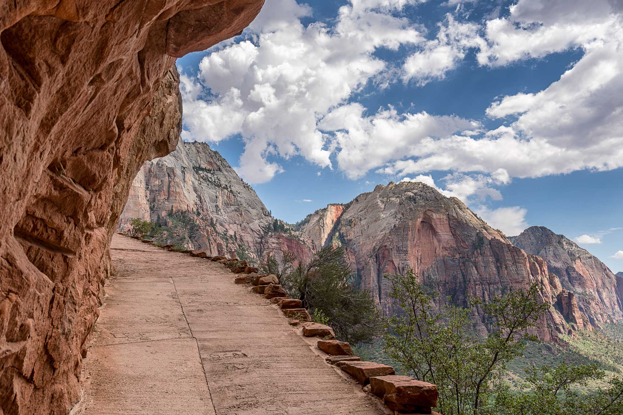
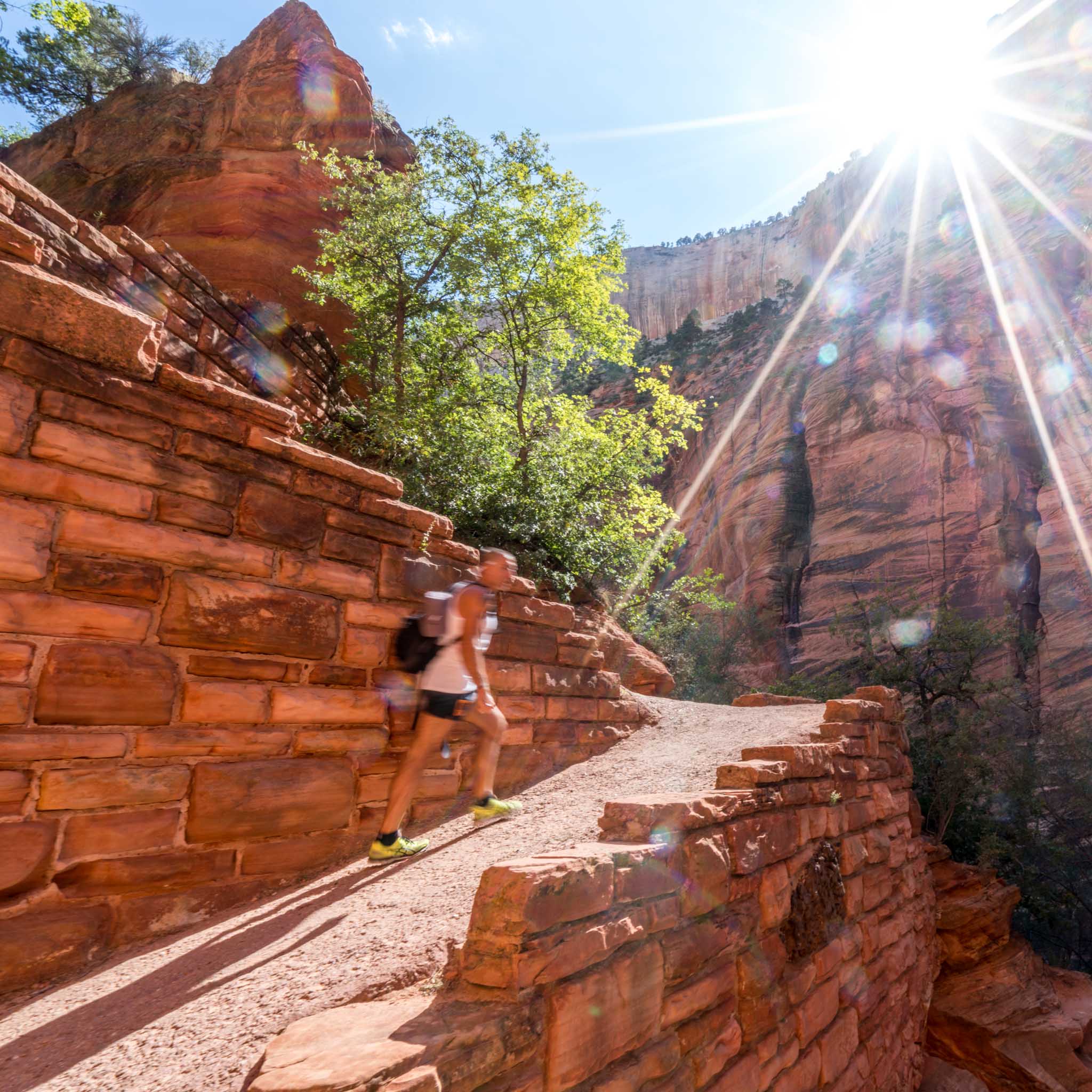
Suddenly the path beneath your feet will change from dirt to concrete as you encounter the first set of steep inclines cut out of the canyon wall.
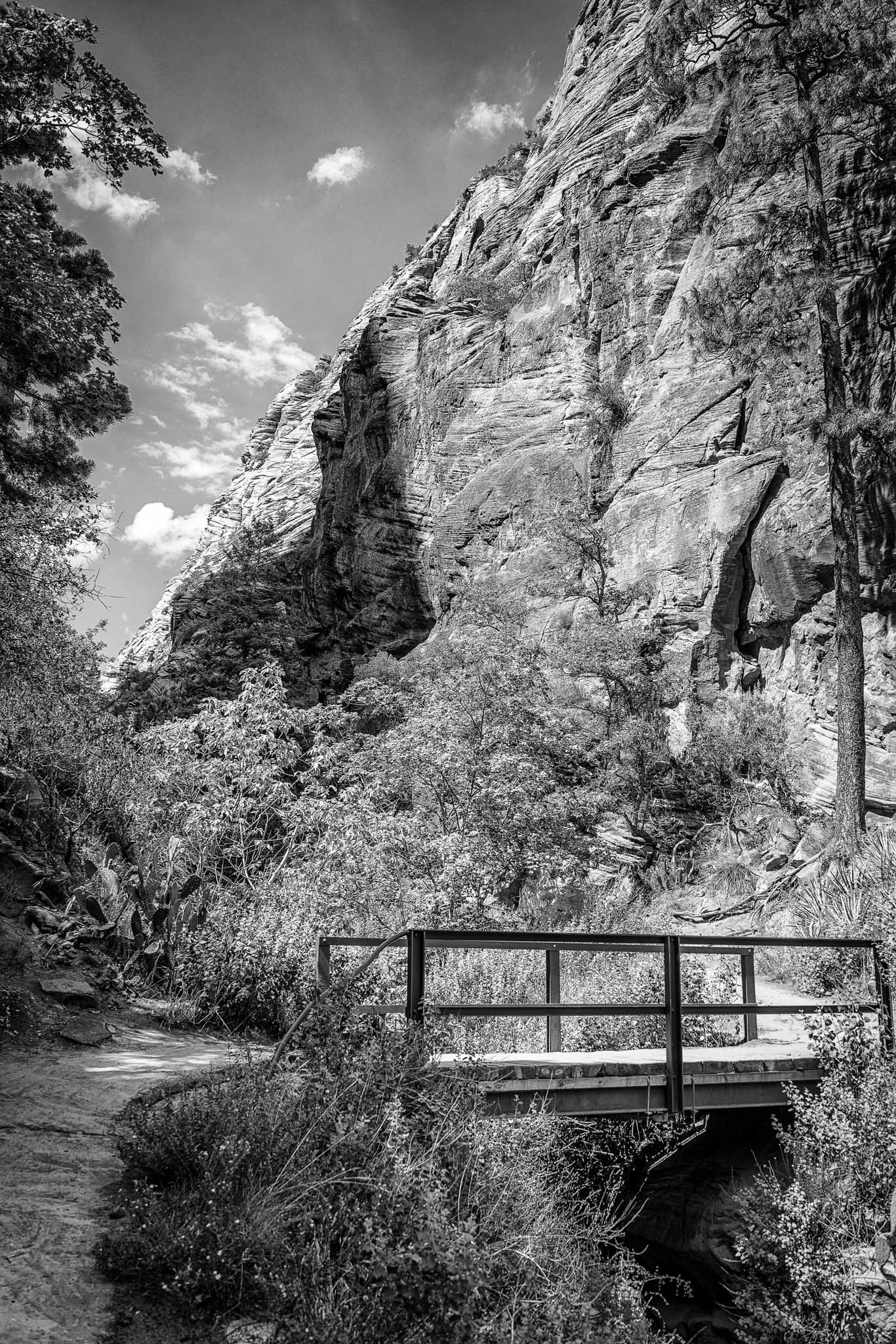
This part of the hike gets a little more strenuous, especially on your calves, but there are plenty of places along the way to stop get a little rest while enjoying the views. At the top of this section you’ll cross a bridge that takes you into a narrow mini-canyon between the canyon wall and the Angel’s Landing massif itself. The mini-canyon is under almost constant shade in the afternoon which creates a brief respite from the heat and also has fairly level terrain to give your calves a break.
Once the flat portion ends you’ll start walking up a series of switchbacks carved out of the side of the Angel’s Landing massif. These switchbacks range from Not Bad to Ow My Calves, but then there’s a sudden right turn and you encounter: The Wiggles.
The Wiggles are a series of 21 short and steep switchbacks that take you up the side of the massif. They are strenuous and unrelenting, but there are plenty of things to look at while you’re inevitably resting.
Near the top of The Wiggles the sun made a bright and triumphant return.
(and if you’re asking “so did you just take pictures of random people as they were hiking?” the answer is yes.)
At the top of The Wiggles you’ve finally made it!……to Scout’s Observatory.
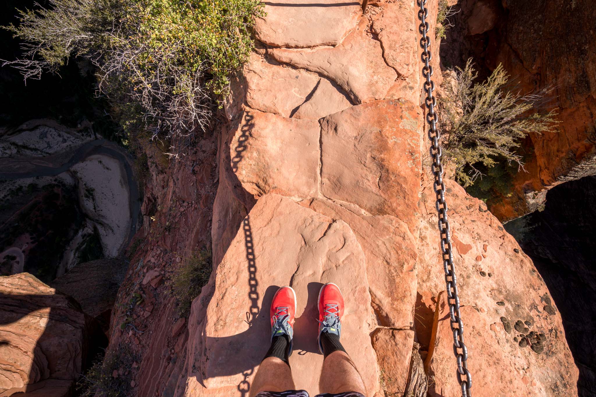
Scout’s Observatory is a metaphorical halfway point on the Angel’s Landing hike. There’s another trail to the western rim that begins there, but many people are faced with a decision at Scout’s Observatory: should I go on or turn around here? Why would someone turn around? Because the trail is about to get a little…um…dangerous, as you’ll see from the picture below, taken during my Angel’s Landing hike last year.
Yes, that really is a 1200-foot drop on one side and a 1600-foot drop on the other side. Distance-wise you’re about 75% to Angel’s Landing when you arrive at Scout’s Observatory but effort-wise you’re only about 25% there. I stopped for a drink of water in some shade and then got moving again. It’s not that I’m not afraid of heights but I sort of just focus on putting one foot in front of the other, which somehow prevents me from screaming in terror when crossing ridges like the above.
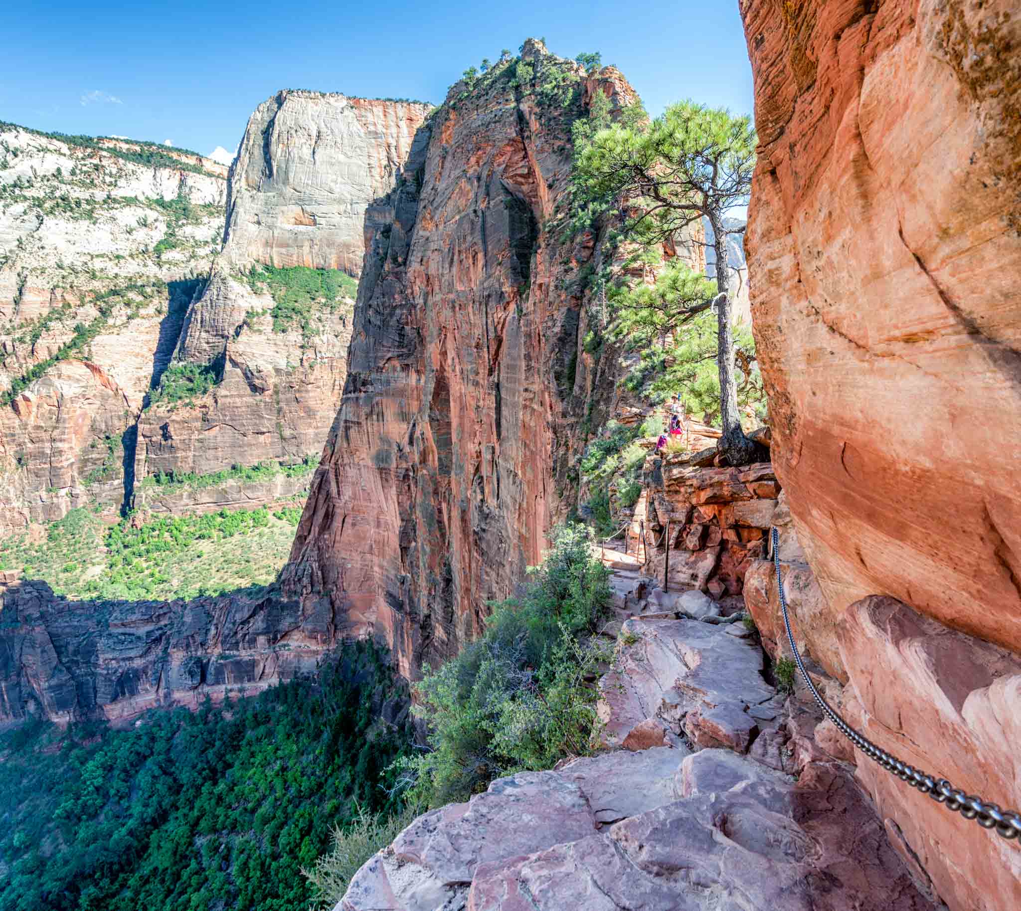
The first big incline leaving Scout’s Observatory isn’t too difficult, it’s steep but also nice and wide, with the chains there to grab onto if necessary.
(A little tip: don’t depend on the chains. They are there to supplement solid footing. There are a few locations where you’ll most likely need a chain to pull you up, but other than those places make sure your feet are locked in and ready before taking your next step. Although there will be plenty of people making the hike, go only as fast as safety will allow and ask for help if you need it.)
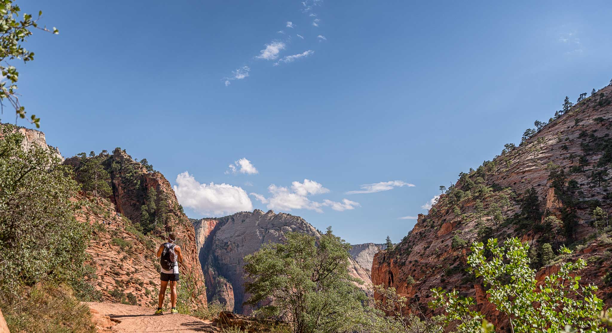
You eventually will get to the top of that hill, walk around the side of it (yes, that’s a 1000+ foot drop off the side), and then your eyes will be treated to an amazing view, but your legs might tremble a bit.
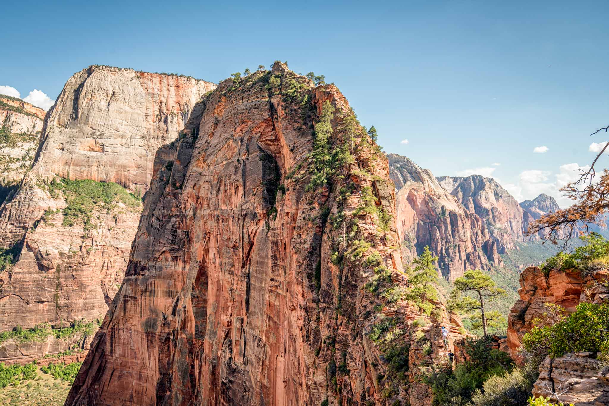
It’s such an amazing view right? Unfortunately though (you’ll notice the people in the bottom right) you have to scale the entirety of that beautiful ridge in order to make it to Angel’s Landing. The climb gets a little dicey here. No bones about it, if you lose respect for the trail you can fall and die. Take it slow, keep moving, and don’t look down!
There are plenty of hills where it looks like you’ll be at the top only to be greeted by a slight turn and another hill you couldn’t see before, so try not to play the “almost there” game! If you feel up to it, look off to the left, you’ll see an amazing view of the Virgin River horseshoeing around a small massif.
Finally, you’ll come to a landing and notice there aren’t any more chains. You have made it to Angel’s Landing! Relax and enjoy the views! You also get fairly decent cellphone reception at the top, so social media away! And yes, there are Pokemon to catch at Angel’s Landing (I don’t play Pokemon Go but plenty of people at the summit with me did).
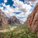
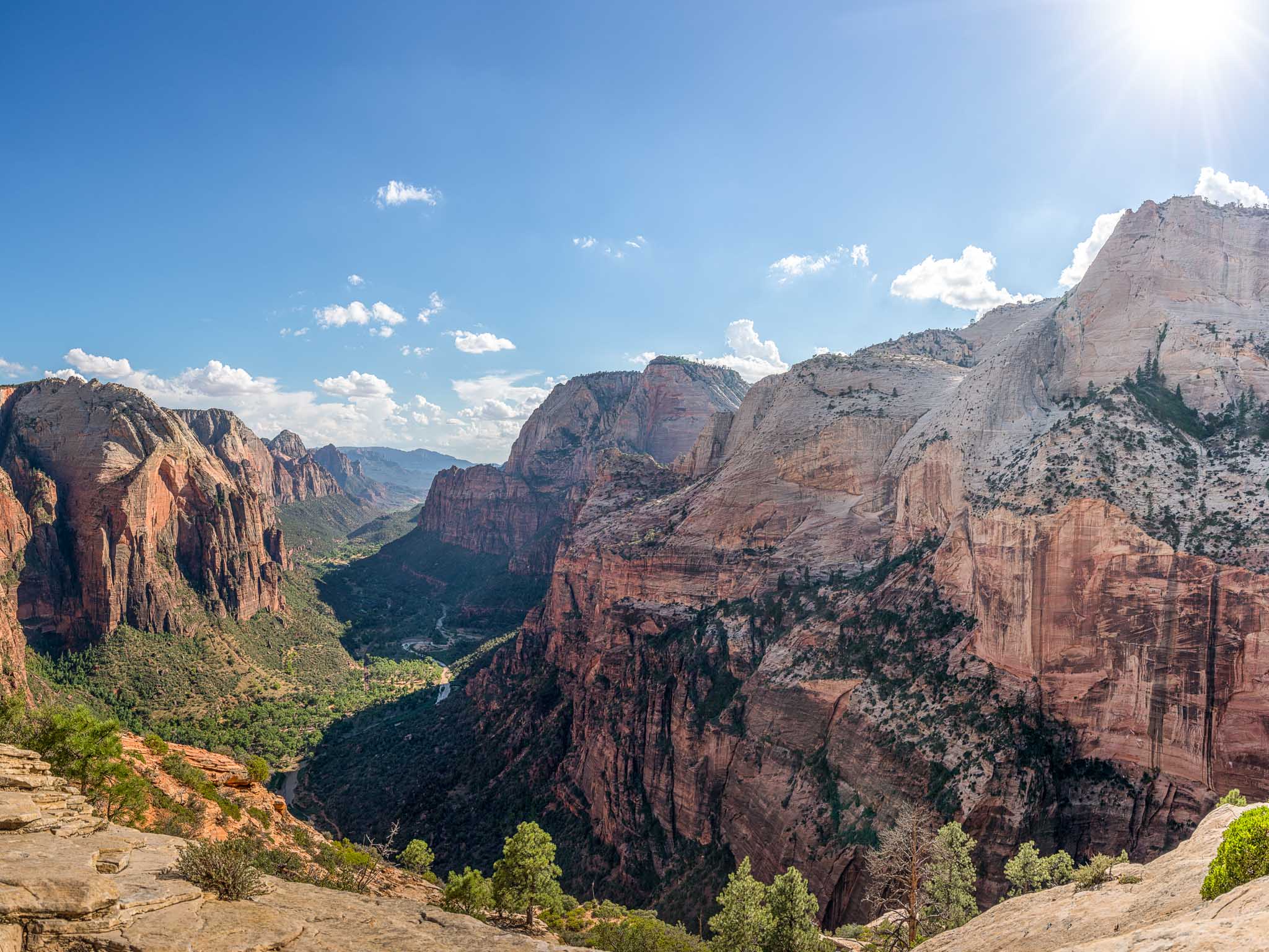
Angel’s Landing is one of the most famous hikes in the southwestern USA. Why? Well, this view of Zion Canyon for starters.
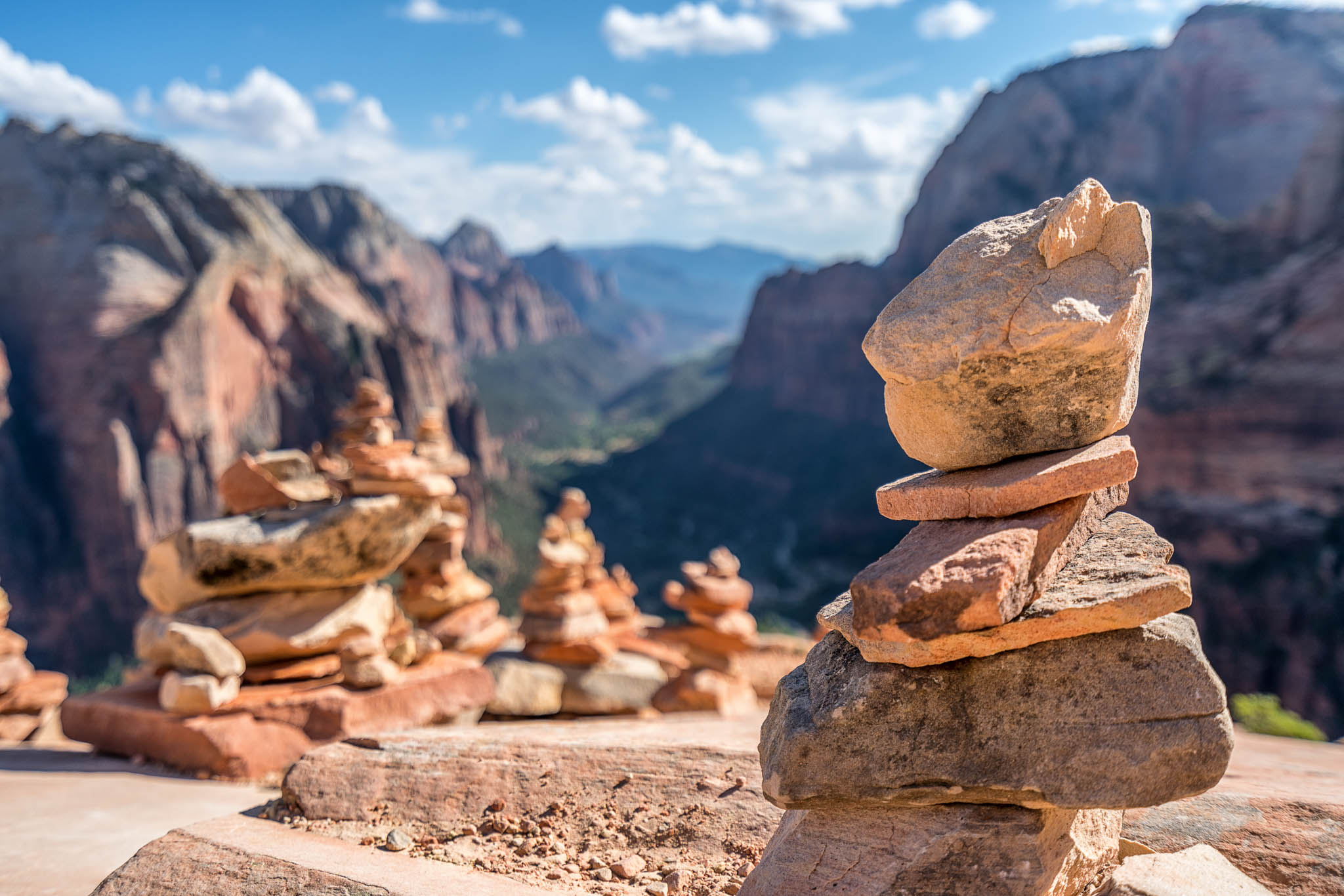
I relaxed for a little bit at the summit and went over to get some pictures of some rock stacks some people had made over the years.
After a brief stay at the summit I realized I needed to make my way back to Las Vegas to turn in my rental car before Silvercar closed, so the camera went back into its backpack and I made my way down the trail. I personally found going down to be much much easier than going up, but plenty of people believe the exact opposite to be true. I took the Zion shuttle back to the Visitor’s Center and a short time later was on the road heading back toward Las Vegas.
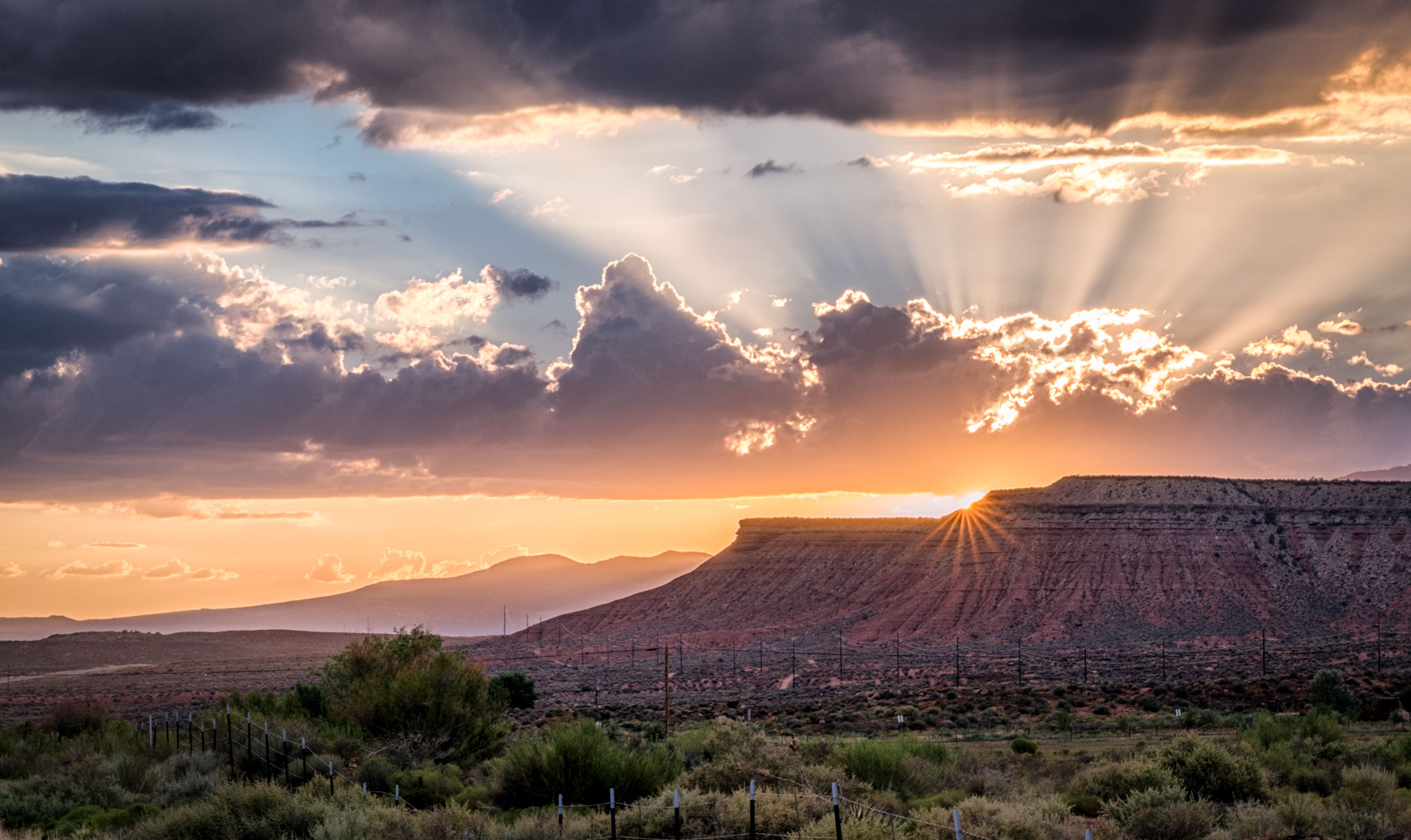
As I was driving I noticed some massive clouds starting to roll in and managed to grab a picture of a pretty amazing sunset just outside of the park!
The rest of the drive was uneventful, as was my flight back to Dallas. Only 24 hours after booking the ticket I arrived back at DFW Airport with sore calves and wonderful pictures!
I hope you enjoyed my little recap of hiking up to Angel’s Landing, let me know if you have any questions!








These are all gorgeous photos. I have been dying to get to AZ. To hike all these beautiful sites. Just waiting for a great guided tour. Thanks for the photos…
What camera did you use for these photos?
Hi Grad, I used a Sony a7rII with the 16-35mm lens for all of these photos.
I haven’t made it yet to Angel’s Landing, but from the looks of your travels, I would recommend that you get to Oregon (if you haven’t been already). You need to check out Smith Rock near Bend, OR- hike the “Misery Trail.” Also, lesser known for it’s hiking, but great photo opps is the Koosah & Sahalie Falls on the Mackenzie River. Try to go in June.
My favorite pics are the stacked rocks and the woman hiker with the sunburst in the background.
Thanks for the recs, Oregon is definitely on the list!
How long did the whole hike take you from from the bus stop and back? I am going in 3 weeks.
About 3 hours.
Gorgeous images!
Thank you!
Hey! Thanks for the info I am going in May. Just curious what time of day and what month you went. You photos are wonderful!
Hi Hana,
Both times I’ve visited were in August/September timeframe, starting the Angel’s Landing hike around 2-3pm
When you say cross over the Virgin River, is there a bridge that goes over the river? Are there places to eat close to where you park your car? Where did you park your car? My wife and I are going to do this hike November! All help is appreciated!
There was a bridge at the Angel’s Landing trailhead.
We followed your plan from Silvercar in Vegas all the way to Scout’s Observatory. My wife’s fear of heights kicked in and we chose to stop right after Scout’s. We did make it up the first set of “chains”. Amazing hike! More difficult than I thought it would be, but totally worth it! Thanks for sharing your experience and info on Silvercar!
I’m glad to hear it was useful! Sorry about the fear of heights issue but hopefully you enjoyed the views anyway!